Point Napean via Coles Track
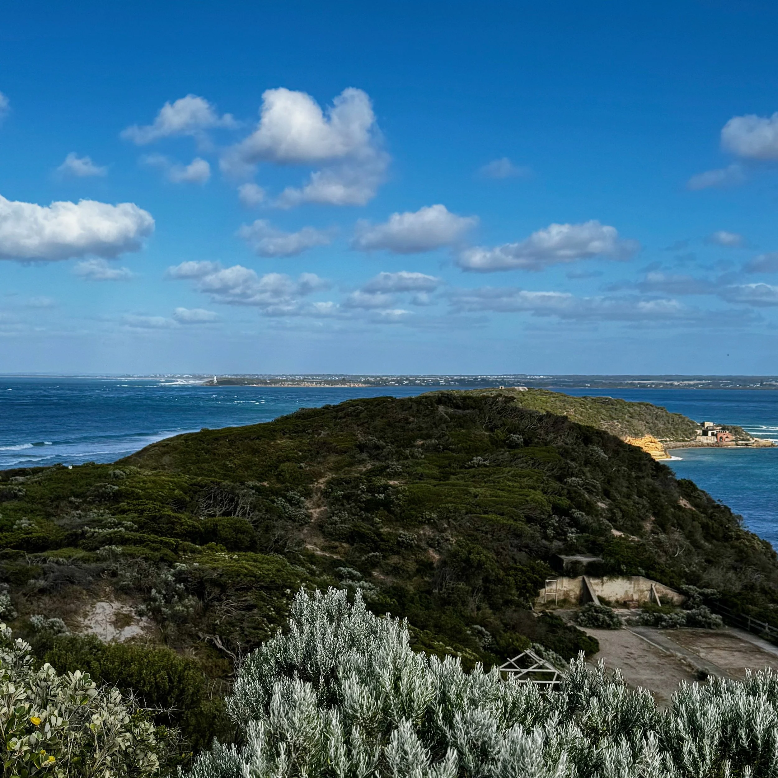
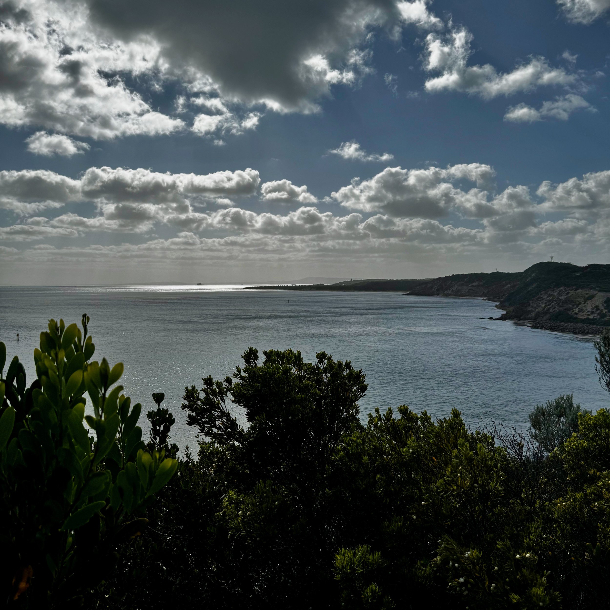
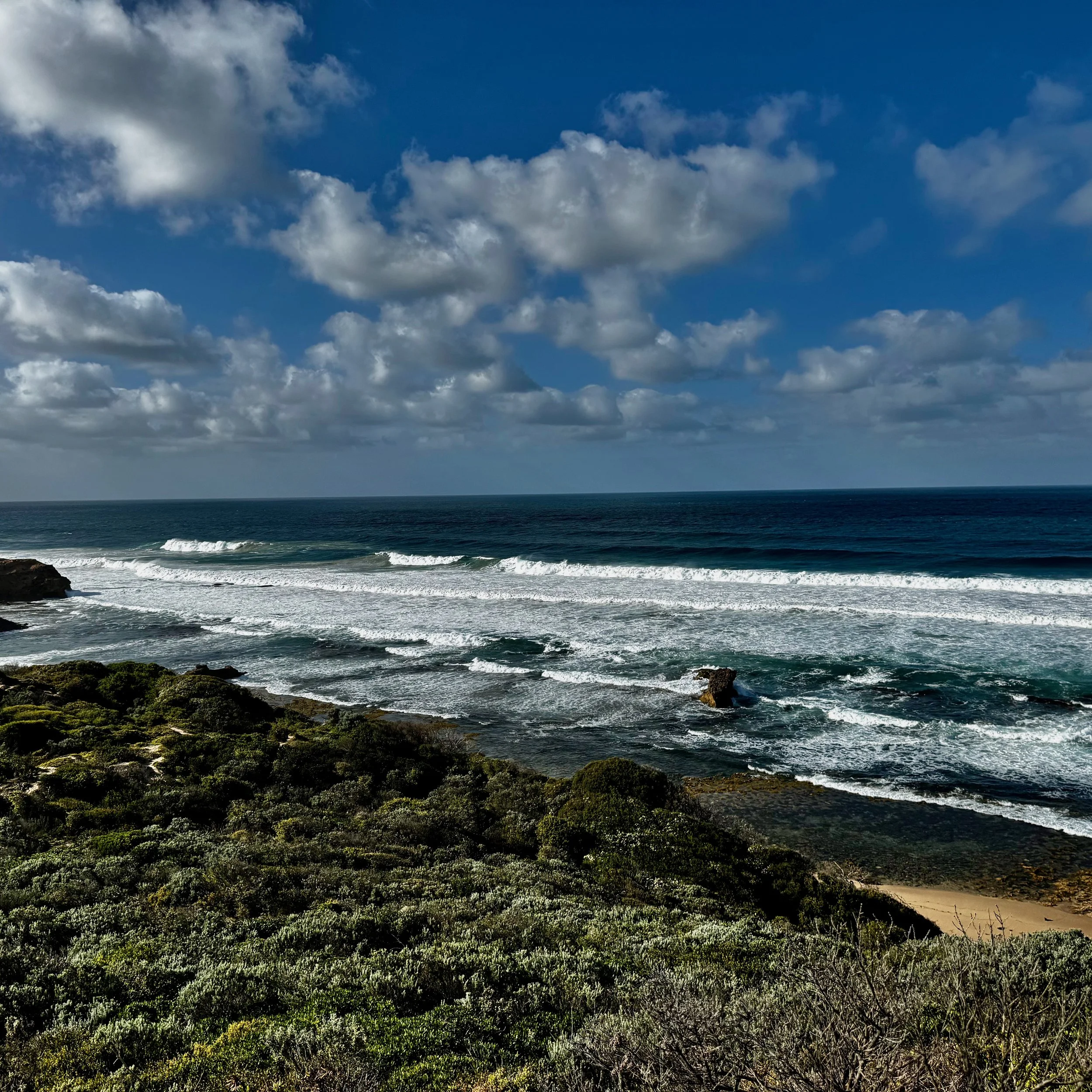
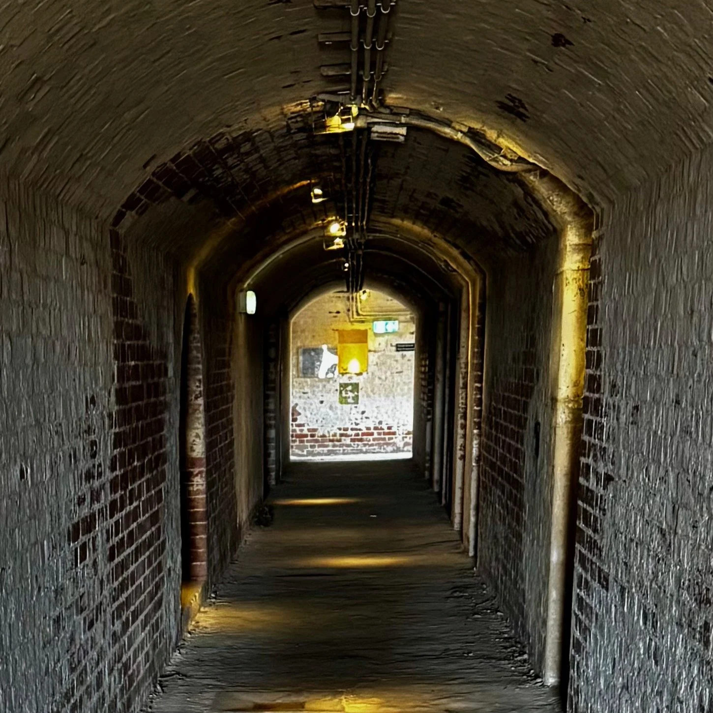
Point Napean is the tip of Port Phillip Bay and part of the Point Napean National Park. The history of Point Napean extends back 40,000 years with evidence of Australian Aboriginal settlement by the Bunurong People. More recently, early European settlers mined limestone from 1840, from 1852 through to 1980, a large quarantine facility was operated on the point and in 1973, fortifications and barracks were built on the end of the point at the entrance the Port Phillip Bay.
There are multiple walking trails in the area: today’s hike was an out and back from the Quarantine Station to the Fort on a combination of wide sandy paths and paved roads.
The trail is easy and heavily used - care needs to be taken on the paved sections as it is shared with cyclists, of which there were many, and vehicles although the road isn’t open to public cars. It’s a trail that has something for everyone: some forestry walking through coastal scrub and the possibility of seeing echidna, extensive and well sign posted buildings at the Quarantine Station and the Fort for the history enthusiasts and breezy, coastal views of both sides of the peninsula which has the visual variety of the pounding surf of the open ocean and the more protected and tranquil waters of the bay.
This is an easy walk, suitable for all levels of fitness with low technical difficulty. Runners or comfortable walking shoes are about the only requirement although even on sunny days, it’s sensible to carry a light jacket as the wind off the ocean can be quite fresh. In summer especially, carrying water is recommended and some type of protection from the Australian flies either a hat net, something to swat the flies or get used to doing the Aussie Salute!
Summary
Type: Out and BackDistance: 10kmTime: 2hrsElevation Gain: 110mDifficulty: EasyAmenities: Flushing toilets, plenty of parking and cafe at carparkDogs: not allowed